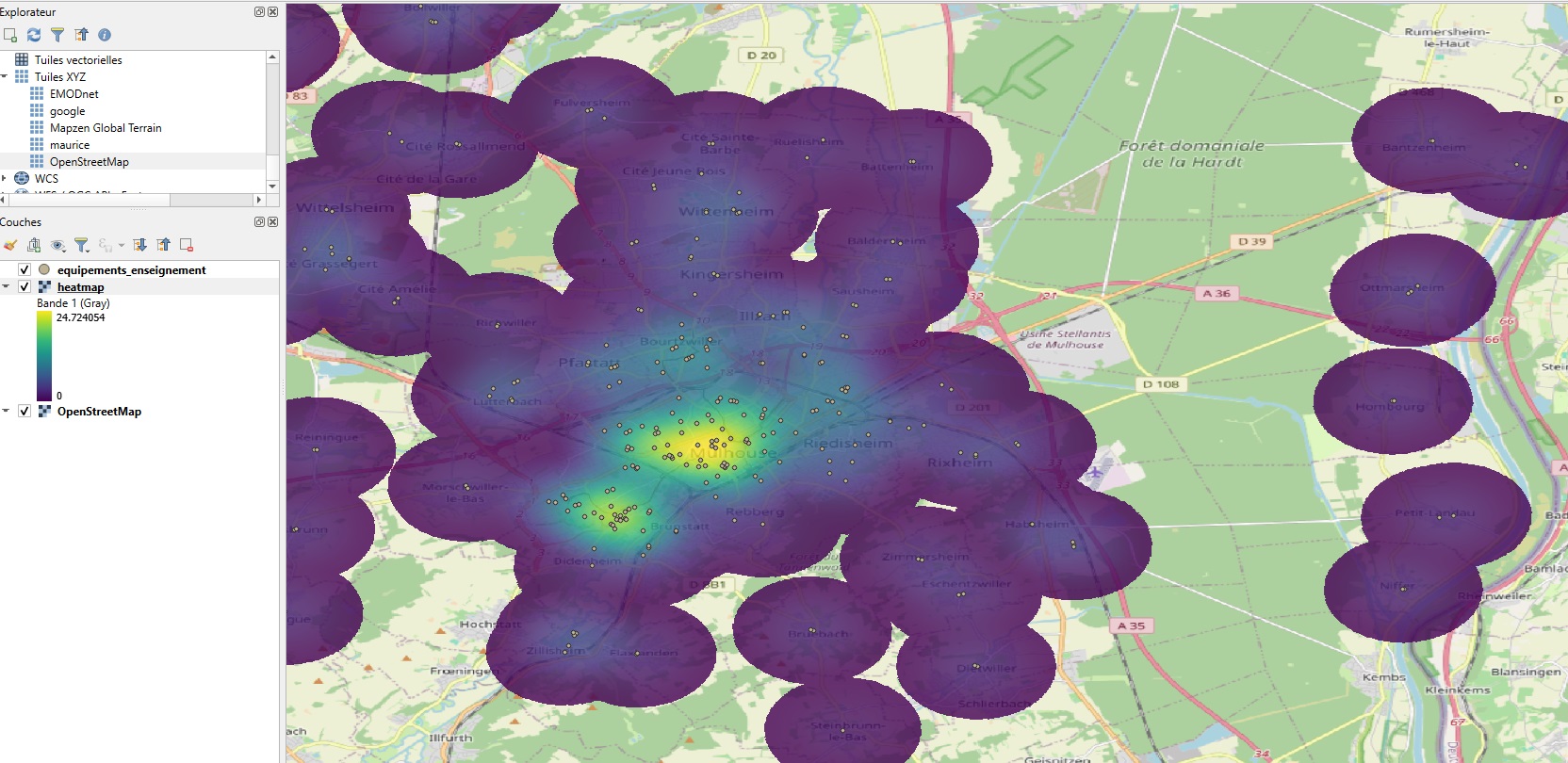
Heatmaps and hotspot maps in QGIS
Heatmaps and hotspot maps in QGIS: understanding the differences In spatial analysis, heatmaps and hotspot maps are two powerful techniques for revealing concentrations or areas of interest from geographic data. While their appearance may be similar…
Read More