Visualize your GIS data in QGIS with the Data Plotly plugin
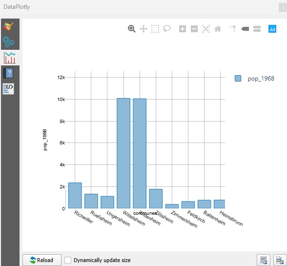
QGIS is a powerful Geographic Information System (GIS) software, renowned for its modularity thanks to its numerous plugins. Among these, Data Plotly stands out for its ability to create interactive graphics directly from GIS layers. A…
Read More