Blog GIS & Territories

GIS coaching for territorial management.

  • Blog – English
  • Tutorials
    • Leaflet Initiation
  • All Content
  • Old Maps
  • Plugins QGis(en)
    • S57Manager(en)
    • FuzzyAttributes(en)
  • About/Contact
  • English
    • Français
    • English
    • Español
    • Português

Category: PostgreSQL

4 June 20254 June 2025 Atilio Francois No Comments
  • Postgis
  • PostgreSQL

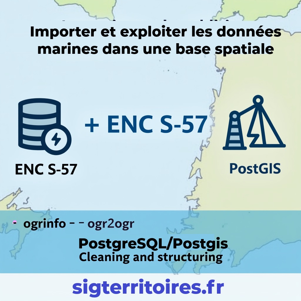
ENC maps in QGis with Postgis(1)

This subject comprises two articles. The first deals with importing ENC S57 files into a Postgresql/postgis database. The second deals with setting up an automatic symbology equivalent to nautical charts. You can download all the scripts…

Read More
28 May 202528 May 2025 Atilio Francois No Comments
  • PostgreSQL

Postgis:table with multiple geometries

List partitioning in PostgreSQL/PostGIS is a declarative partitioning method that divides a large table into several sub-tables, according to the discrete values of a column (e.g. by region, type, year, etc.). This is particularly useful in…

Read More
27 June 202325 June 2023 Atilio Francois No Comments
  • PostgreSQL
  • QGis

Topology, did you say topology?

This article explores the fundamental concept of topology in GIS (Geographic Information Systems) and its application in the modeling and analysis of geospatial data. It examines in detail the different aspects of topology, such as spatial…

Read More
20 June 202322 June 2023 Atilio Francois No Comments
  • PostgreSQL
  • QGis
  • Spatialite

Eliminate overlaps and gaps between polygons in a layer (with QGis and Postgis)

For those unfamiliar with the joys of working with the French cadastre, you should know that if you have the opportunity to work with cadastral data corresponding to “Lieux-dits” (a subdivision of communes) you’ll find that…

Read More
25 May 202321 May 2023 Atilio Francois No Comments
  • Database
  • PostgreSQL
  • QGis

Loading Geopackage data into PostreQL/PostGis with QGis

Among the different options to load data in Postgresql, we will see here the one that, in my opinion, is the easiest and fastest. We will simply use QGis and its Database Manager.

Read More
  • english posts
  • PostgreSQL

Spatial analysis with SQL: 5- aggregation function (ArcGis Union)

In Article previous we have discussed some SQL functions for spatial processing . In this article we will see a function a little more complicated to put at work: the aggregation function for two layers of…

Read More

Posts pagination

1 2 Next »

Mastodon Follow me on Mastodon
Voir le profil de atilio francois sur LinkedIn

Recent articles

Recent comments

posts

  1. Atilio Francois on [EN]Download QGIS 4.0 Portable for Windows (Full & Lite Versions)5 June 2026

    Thank you for your feedback and for reporting these issues. The errors and the missing Processing functionality that you observed…

  2. Andrea on [EN]Download QGIS 4.0 Portable for Windows (Full & Lite Versions)5 June 2026

    I've downloaded today the 7z file from https://www.sigterritoires.fr/QGis4.0Lite, then unarchived it and then launched launch_qgis_portable.bat: various errors occurs https://dcmnt.eu/pad/#/2/pad/view/-6FZXEyJYV4SyZmDWWE4XW6M7l-1JGp0V67X4tBTdjg/embed/ and…

  3. Andrea on [EN]Download QGIS 4.0 Portable for Windows (Full & Lite Versions)5 June 2026

    It's not clear what are exactly the components that are missing in the "QGIS portable – lightweight version". Could you…

  4. Ed on [EN]Download QGIS 3.44 LTR Portable for Windows (Full Version)2 June 2026

    Thank you for your service to the community! Please know that you are greatly appreciated! We prefer using the Long…

  5. SERGIO SEBASTIAN VERDU on [EN]Download QGIS 4.0 Portable for Windows (Full & Lite Versions)27 May 2026

    Hi Atilio, I'm very interested in downloading these versions of QGIS, but I've tried several times and the download never…

All articles by category (click on a category to display article extracts)

(You can copy the RSS link for each category separately)

  • ArcGis (1)
  • Arcgis Pro (1)
  • bibliography (1)
  • Database (13)
    • PostgreSQL (9)
    • Spatialite (3)
  • english posts (20)
  • Felt (3)
  • Geoserver (5)
  • Geospatial Technologies (4)
    • Spatial Analysis & GIS (4)
  • GIS and management (2)
  • IA(en) (3)
  • Lidar (10)
  • Logique floue (2)
  • Non classé (207)
  • Outils divers (2)
  • Outils et méthodes (5)
    • Images (5)
  • Postgis (4)
  • QGis (84)
    • Plugin (30)
    • Tutorial (6)
  • S57 (5)
  • webmapping (9)

  • Blog – English
  • Tutorials
  • All Content
  • Old Maps
  • Plugins QGis(en)
  • About/Contact
  • English
Copyright 2018. All rights reserved | Theme: Blog Mantra by LilyTurf Themes