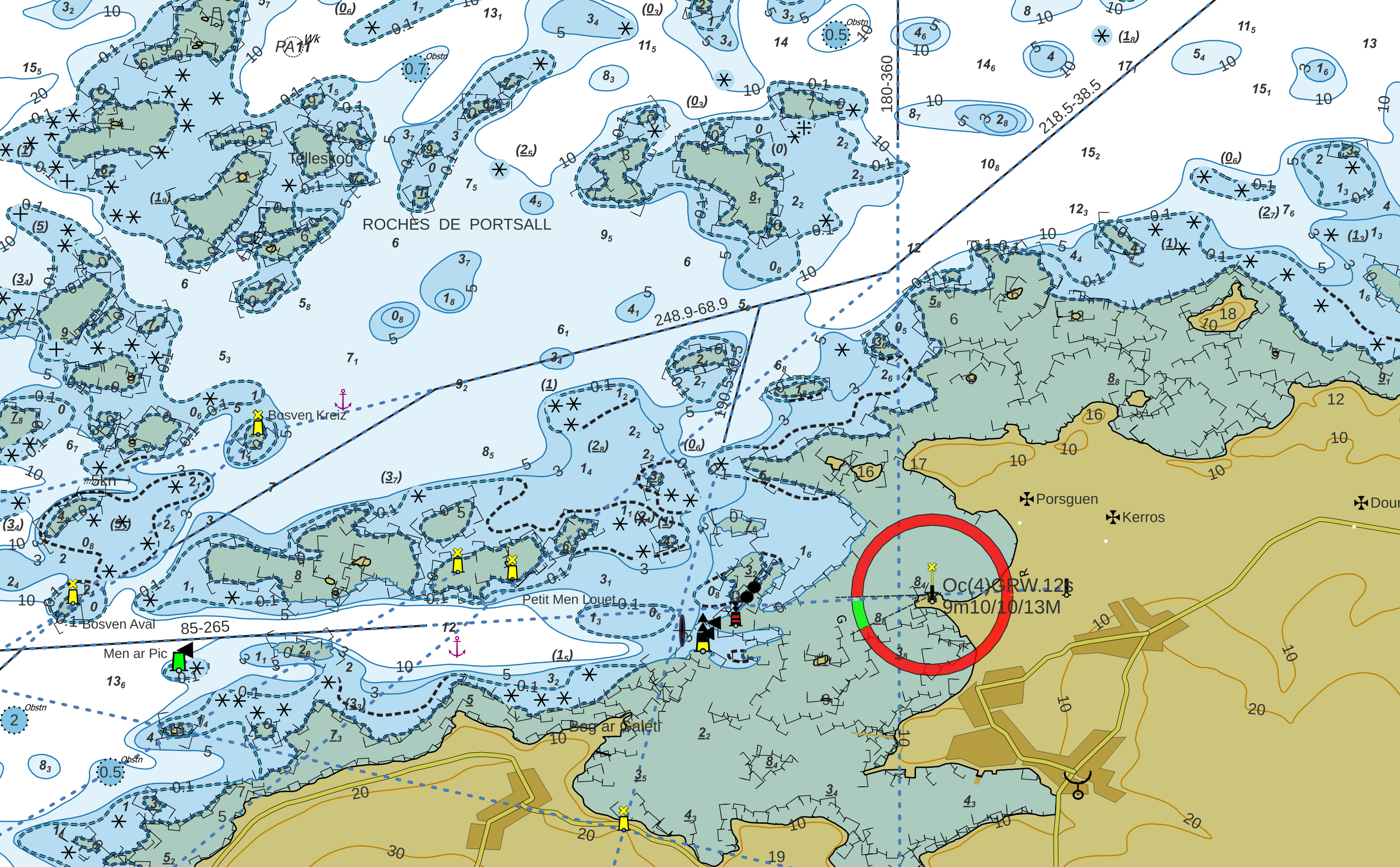
ENC Geopackage maps in QGis Final version: part two
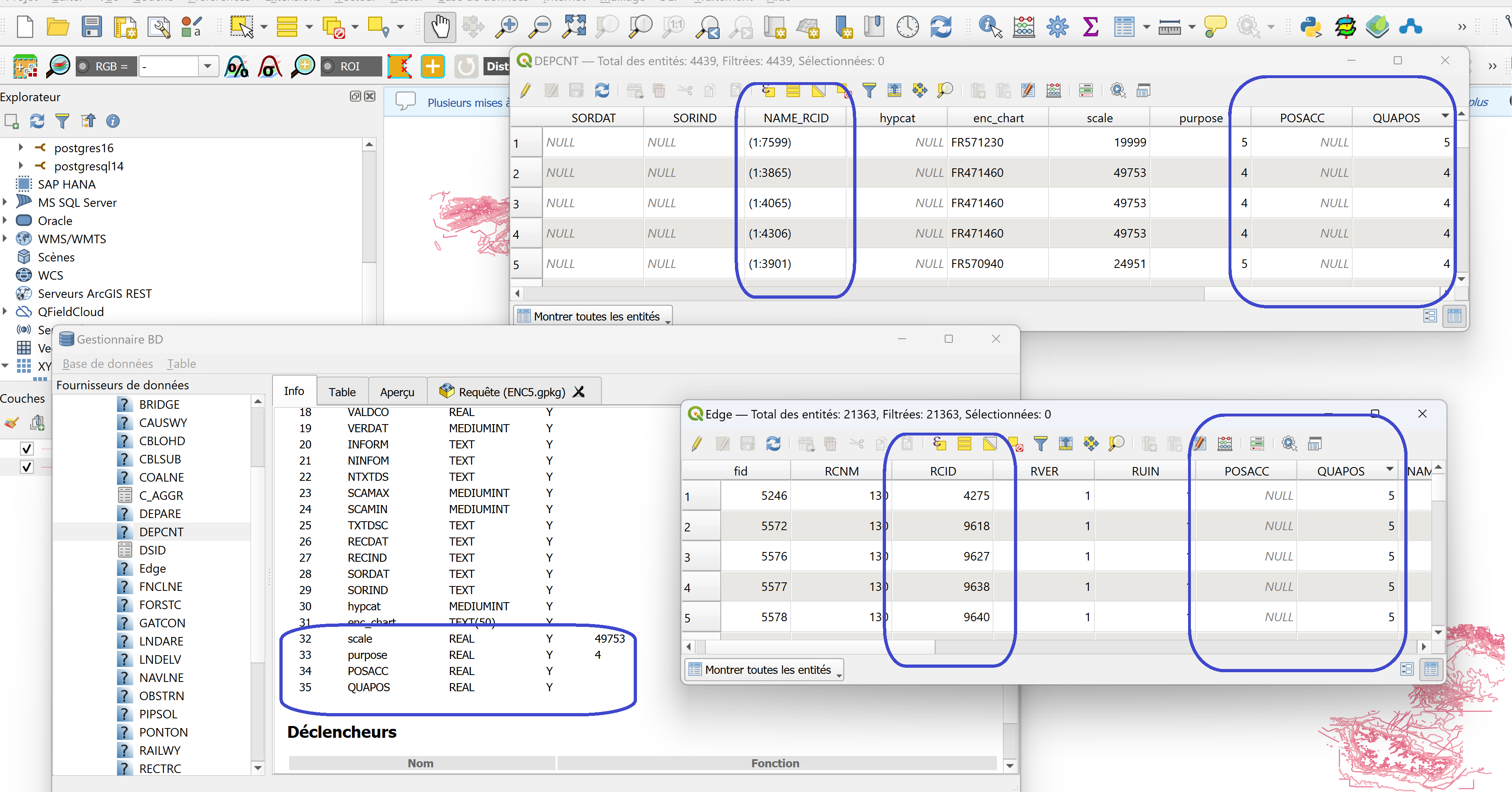
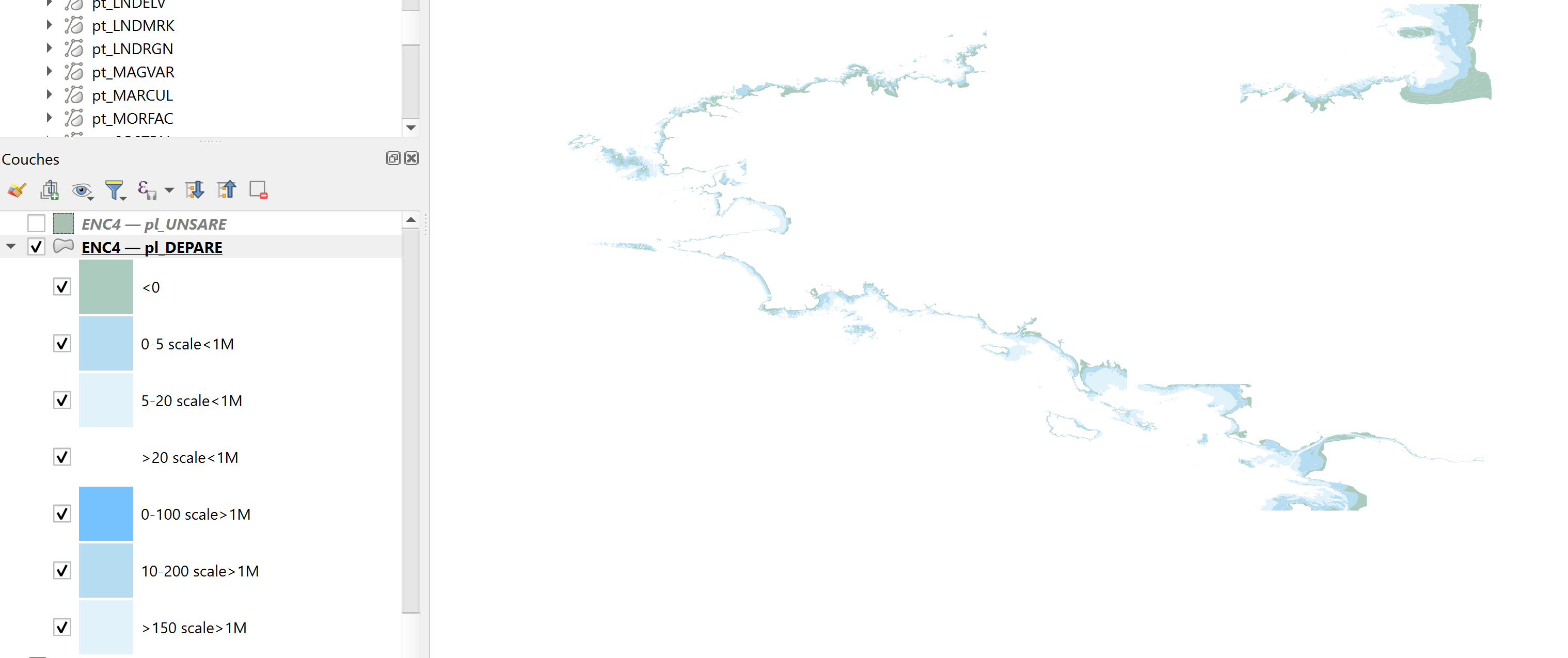
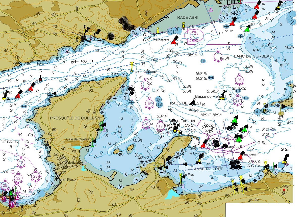
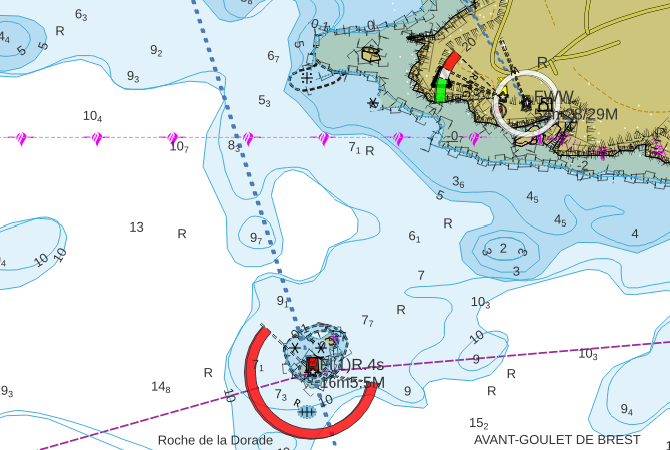
The project to integrate ENC maps into QGis in the form of Geopackage is now complete. This article completes the two previously published articles on ENC symbology in the Geopackage database. Adding symbology to Geopackage The…
Read More