Blog GIS & Territories

GIS coaching for territorial management.

  • Blog – English
  • Tutorials
    • Leaflet Initiation
  • All Content
  • Old Maps
  • Plugins QGis(en)
    • S57Manager(en)
    • FuzzyAttributes(en)
  • About/Contact
  • English
    • Français
    • English
    • Español
    • Português

Tag: leaflet

23 May 202519 May 2025 Atilio Francois No Comments
  • webmapping

Leaflet: responsive

At the end of the Leaflet introductory course, the final mini-project looked like the following map: With a map displaying geojson data, a mini-map and a title. This screenshot was taken on a PC and looks…

Read More
21 May 202519 May 2025 Atilio Francois No Comments
  • webmapping

MBtiles & Leaflet

Introduction: What is the MBTiles format? The MBTiles format is a file format for storing map tiles (raster or vector) in a SQLite database, a lightweight, stand-alone database engine. Initially designed by Mapbox, this format has…

Read More
16 May 202519 May 2025 Atilio Francois No Comments
  • webmapping

Leaflet tutorial: session 6

Session objectives: Creation of a mini-mapping project The aim of this session is to mobilize all the skills acquired in the introductory course to Leaflet to create a complete interactive map. Learners choose a theme from…

Read More
14 May 202511 May 2025 Atilio Francois No Comments
  • webmapping

Leaflet tutorial: session 5

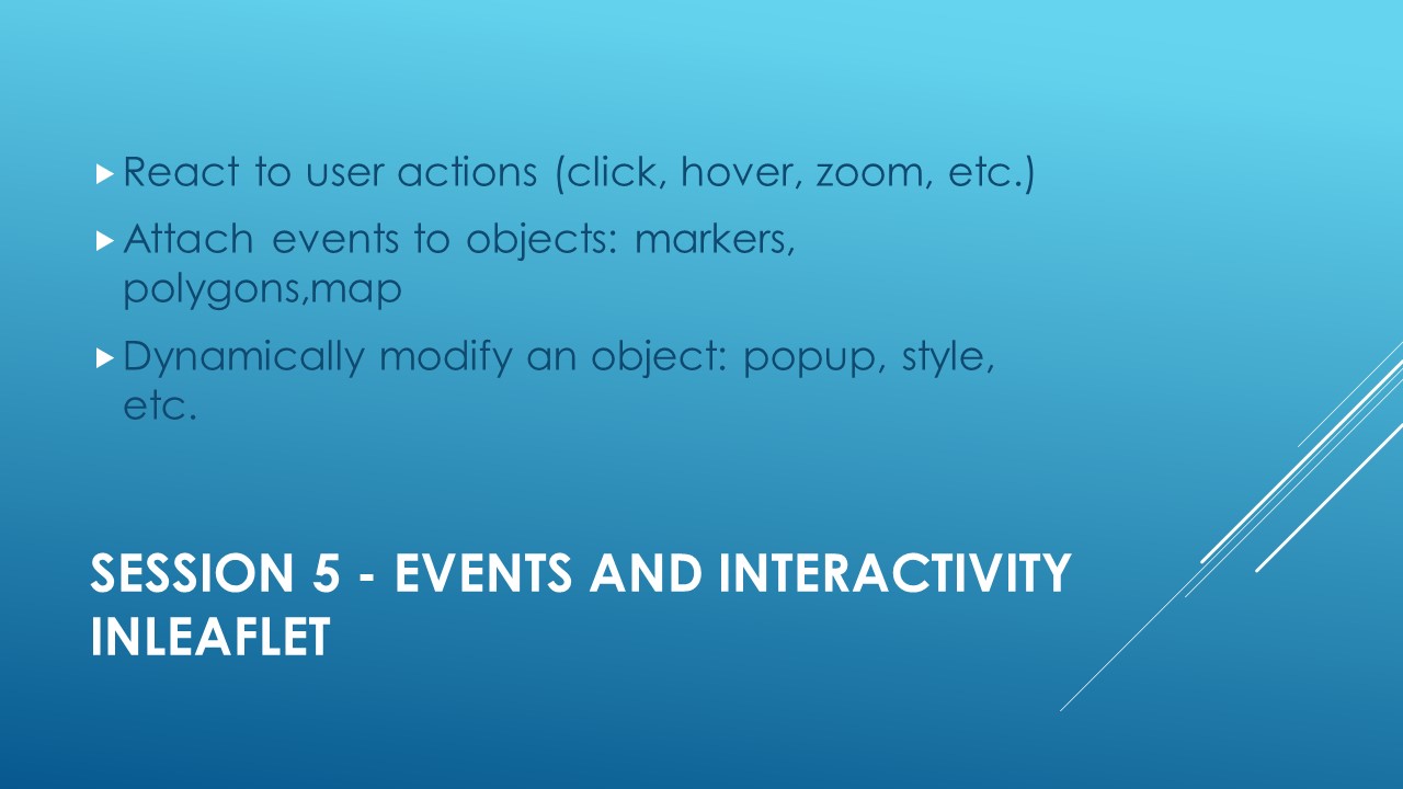
Slide 1: Key events in Leaflet In Leaflet, events play a key role in making maps interactive and responsive. Indeed, Leaflet can handle a wide range of events that occur on the map, layers or specific…

Read More
7 May 20257 May 2025 Atilio Francois No Comments
  • webmapping

Leaflet tutorial: session 4

Session 4: Customization and control in Leaflet Objective: enhance the user experience (UX) and customize the appearance of interactive maps. Diapo 1: Customizing markers 1. Introduction: Why customize markers? By default, Leaflet uses a standard blue…

Read More
30 April 20255 May 2025 Atilio Francois No Comments
  • webmapping

Leaflet tutorial: session 3

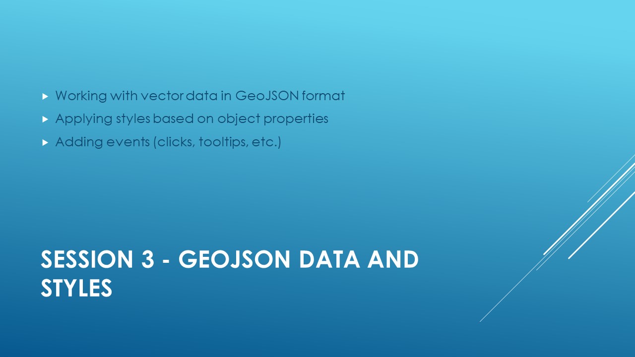
GeoJSON data and styles Slide 1: What is GeoJSON? GeoJSON is a lightweight, widely used data format for representing geographic objects in a web environment. It is based on the JSON (JavaScript Object Notation) format, a…

Read More

Posts pagination

1 2 Next »

Mastodon Follow me on Mastodon
Voir le profil de atilio francois sur LinkedIn

Recent articles

Recent comments

posts

  1. Atilio Francois on [EN]Portable QGIS 4.0 for Windows – Download and use QGIS without installation5 June 2026

    Thank you for your feedback and for reporting these issues. The errors and the missing Processing functionality that you observed…

  2. Andrea on [EN]Portable QGIS 4.0 for Windows – Download and use QGIS without installation5 June 2026

    I've downloaded today the 7z file from https://www.sigterritoires.fr/QGis4.0Lite, then unarchived it and then launched launch_qgis_portable.bat: various errors occurs https://dcmnt.eu/pad/#/2/pad/view/-6FZXEyJYV4SyZmDWWE4XW6M7l-1JGp0V67X4tBTdjg/embed/ and…

  3. Andrea on [EN]Portable QGIS 4.0 for Windows – Download and use QGIS without installation5 June 2026

    It's not clear what are exactly the components that are missing in the "QGIS portable – lightweight version". Could you…

  4. Ed on Portable version of QGis 3.44.0 – Updated Version with Python Fixes and Authentication Support2 June 2026

    Thank you for your service to the community! Please know that you are greatly appreciated! We prefer using the Long…

  5. SERGIO SEBASTIAN VERDU on [EN]Portable QGIS 4.0 for Windows – Download and use QGIS without installation27 May 2026

    Hi Atilio, I'm very interested in downloading these versions of QGIS, but I've tried several times and the download never…

All articles by category (click on a category to display article extracts)

(You can copy the RSS link for each category separately)

  • ArcGis (1)
  • Arcgis Pro (1)
  • bibliography (1)
  • Database (13)
    • PostgreSQL (9)
    • Spatialite (3)
  • english posts (20)
  • Felt (3)
  • Geoserver (5)
  • Geospatial Technologies (4)
    • Spatial Analysis & GIS (4)
  • GIS and management (2)
  • IA(en) (3)
  • Lidar (10)
  • Logique floue (2)
  • Non classé (207)
  • Outils divers (2)
  • Outils et méthodes (5)
    • Images (5)
  • Postgis (4)
  • QGis (80)
    • Plugin (26)
    • Tutorial (6)
  • S57 (5)
  • webmapping (9)

  • Blog – English
  • Tutorials
  • All Content
  • Old Maps
  • Plugins QGis(en)
  • About/Contact
  • English
Copyright 2018. All rights reserved | Theme: Blog Mantra by LilyTurf Themes