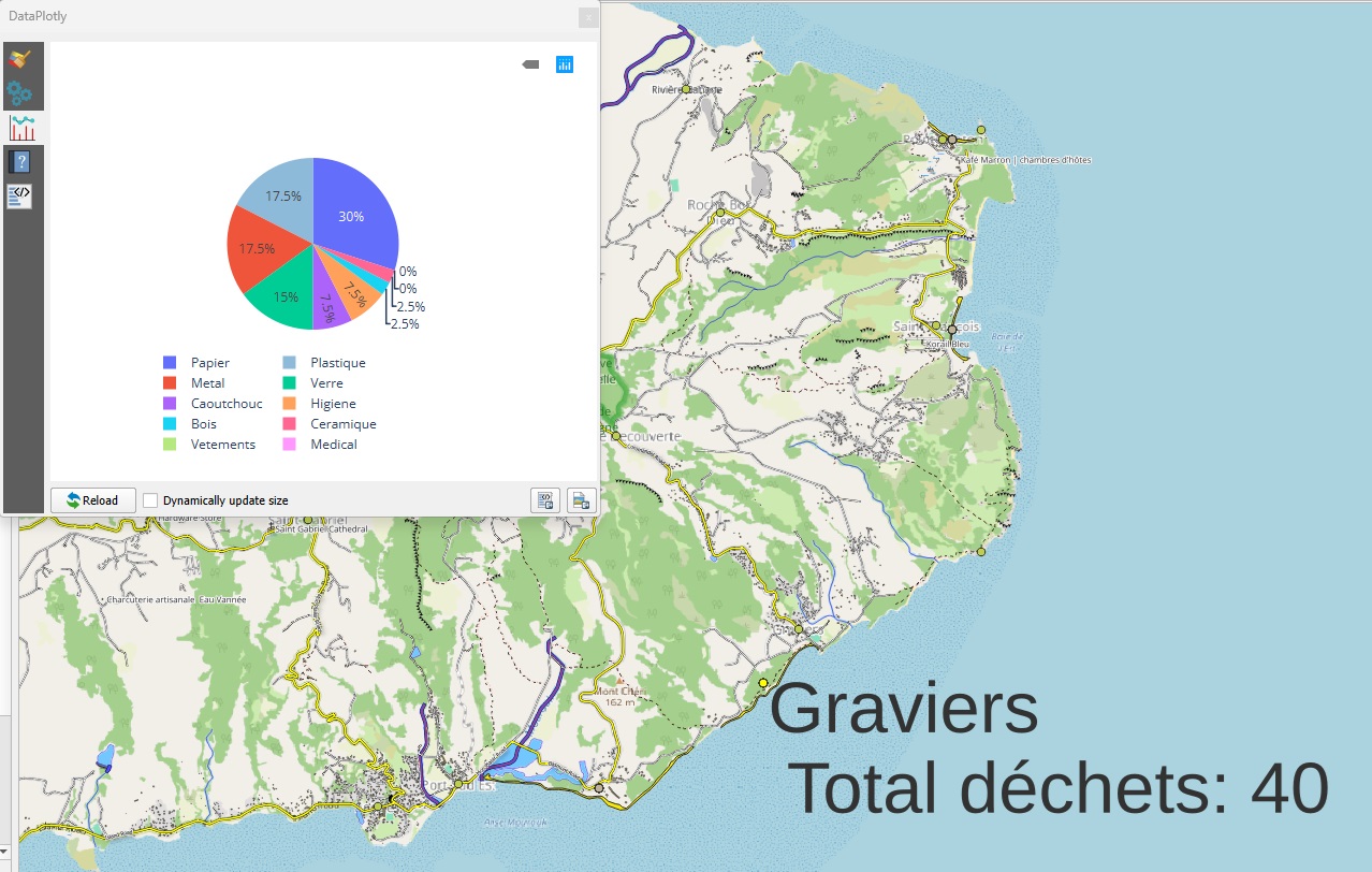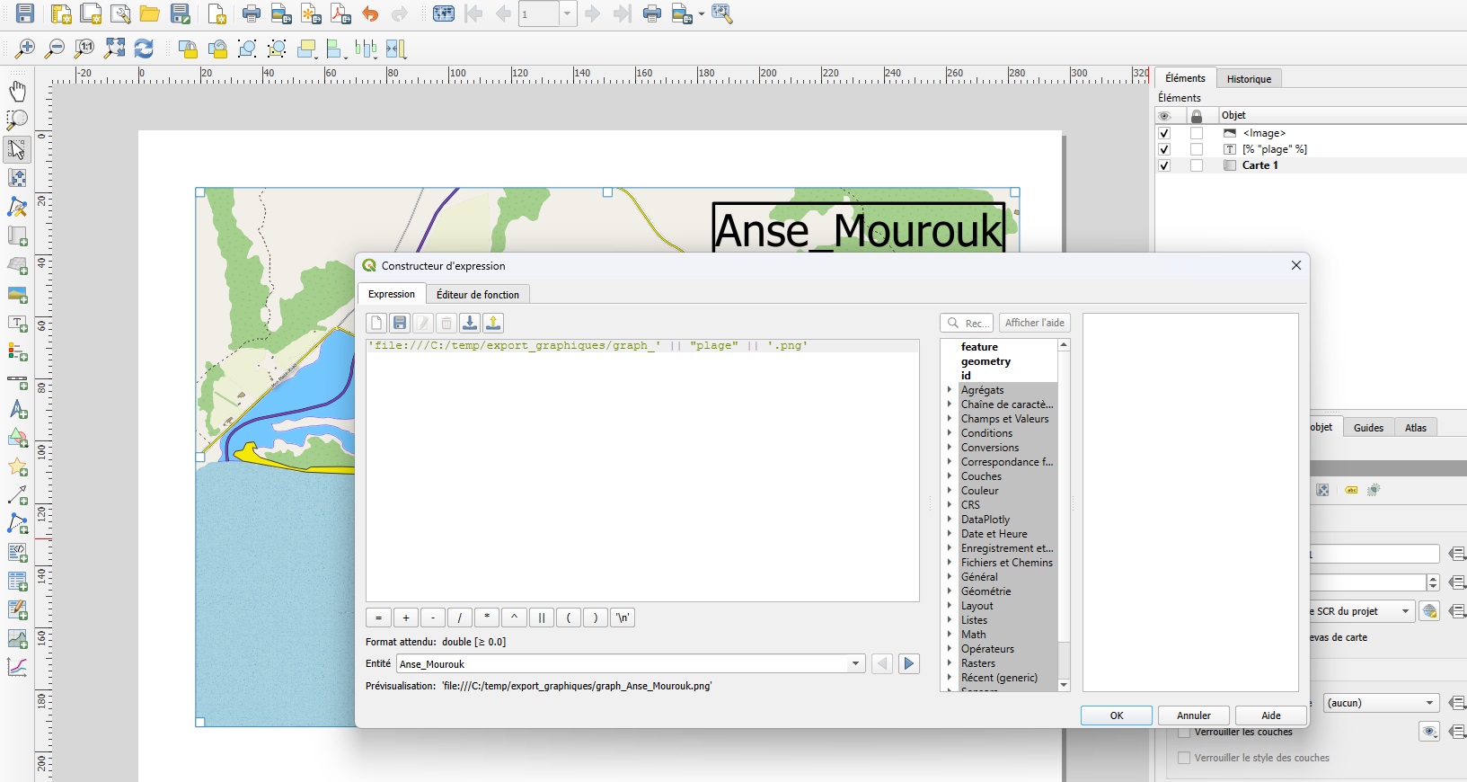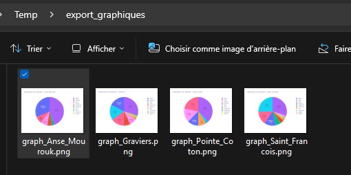
Portable version of QGis 3.44.0 – Updated Version with Python Fixes and Authentication Support
You can download a portable version of QGis 3.44.0 from this link The compressed file is 1.2 GB. Once decompressed, it will occupy 2.91 GB on disk. What is a portable application? A portable application (or…
Read More