Converting a class raster to a fuzzy raster in QGIS
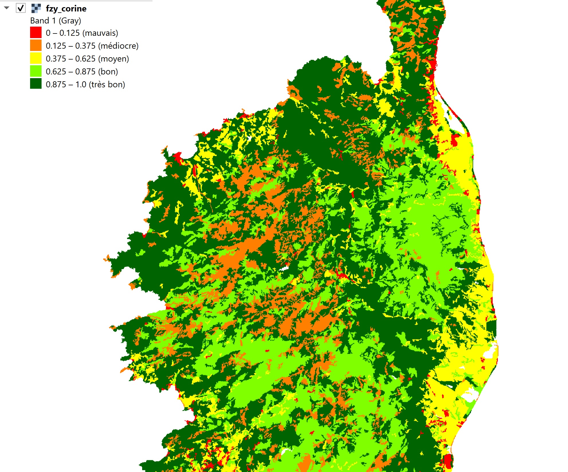
In some cases, the data is not continuous (altitude, slope, distance, etc.), but discrete, i.e., consisting of classes. Each pixel then corresponds to a category: a soil type, land use, risk level, etc. These “categorical” rasters…
Read More