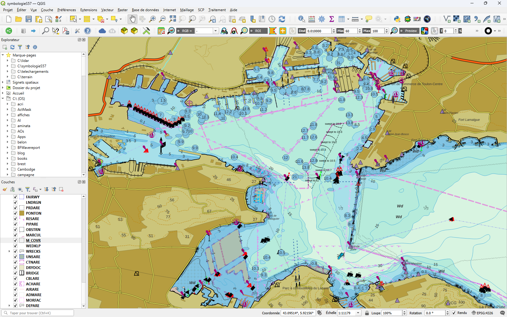
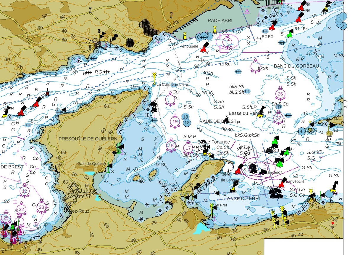
Netwotk Analysis with QGis
We’ll look at how to download and prepare OpenStreetMap data for a network analysis, then at all the QGis processes grouped together under the heading Network Analysis.
Read MoreGIS coaching for territorial management.
We’ll look at how to download and prepare OpenStreetMap data for a network analysis, then at all the QGis processes grouped together under the heading Network Analysis.
Read More
You can download a portable version of QGis 3.32.0 from this link The compressed file is 1.4 GB. Once decompressed, it will occupy 2.6 GB on disk.
Read More
Felt has just released a new plugin for the QGIS community: Add to Felt. QGIS users can now create Felt maps directly from QGIS projects thanks to the new QGIS plugin.
Read More
This article explores the fundamental concept of topology in GIS (Geographic Information Systems) and its application in the modeling and analysis of geospatial data. It examines in detail the different aspects of topology, such as spatial…
Read More
FELT (https://felt.com) is a new collaborative online mapping platform. The platform offers modern tools for creating maps that are easy to make and share. Registering with FELT First of all, FELT is free to use. But…
Read More
We’ll take up the example covered in the article Eliminating overlays and gaps between polygons in a layer (with QGis and Postgis) to see the same type of solution when you don’t have a PostgreSQL/Postgis database.…
Read More