Leaflet tutorial: session 6
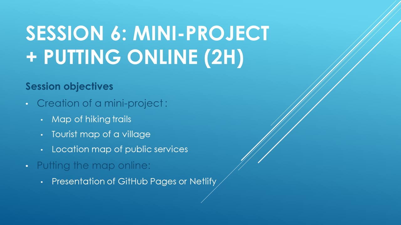
Session objectives: Creation of a mini-mapping project The aim of this session is to mobilize all the skills acquired in the introductory course to Leaflet to create a complete interactive map. Learners choose a theme from…
Read More