Blog GIS & Territories

GIS coaching for territorial management.

  • Blog – English
  • All Content
  • Old Maps
  • About/Contact
  • Forums.
  • EnglishEnglish
    • FrançaisFrançais
    • EnglishEnglish
    • EspañolEspañol
    • PortuguêsPortuguês

Tag: dms

3 August 20233 August 2023 Atilio Francois No Comments
  • Lidar

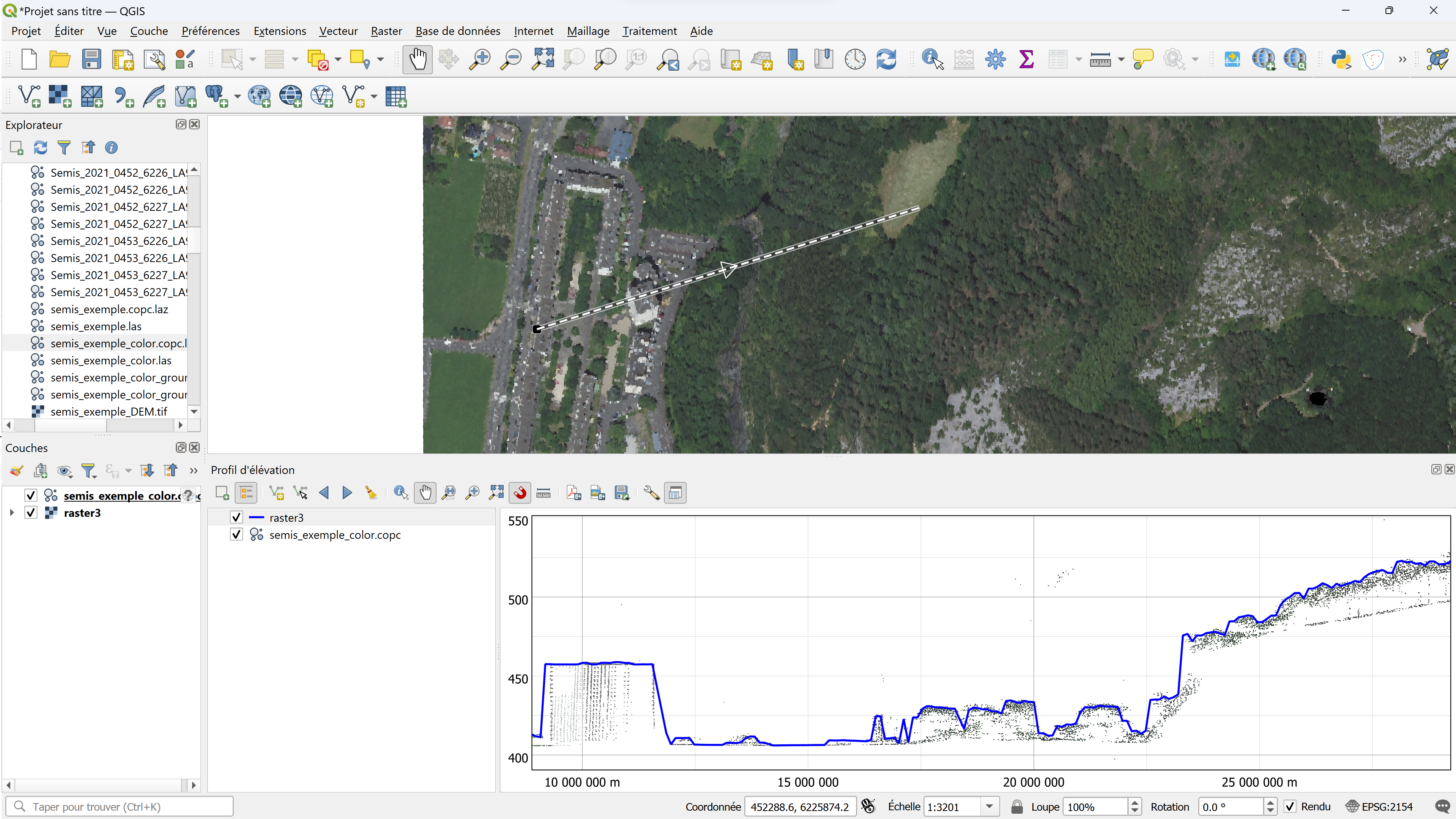
QGis for LIDAR: digital surface model (DSM) with CloudCompare and LAStools

In this article you’ll find the definition of a digital surface model and, step by step, how to create a DSM from an unclassified and classified LIDAR cloud, using CloudCompare and LAStools. Tutorial : LIDAR HD…

Read More
  • Blog – English
  • All Content
  • Old Maps
  • About/Contact
  • Forums.
  • EnglishEnglish
Copyright 2018. All rights reserved | Theme: Blog Mantra by LilyTurf Themes