Blog GIS & Territories

GIS coaching for territorial management.

  • Blog – English
  • Tutorials
    • Leaflet Initiation
  • All Content
  • Old Maps
  • About/Contact
  • English
    • Français
    • English
    • Español
    • Português

Tag: lidar

27 July 202325 April 2025 Atilio Francois No Comments
  • Lidar

QGis for LIDAR:colorizing from an image

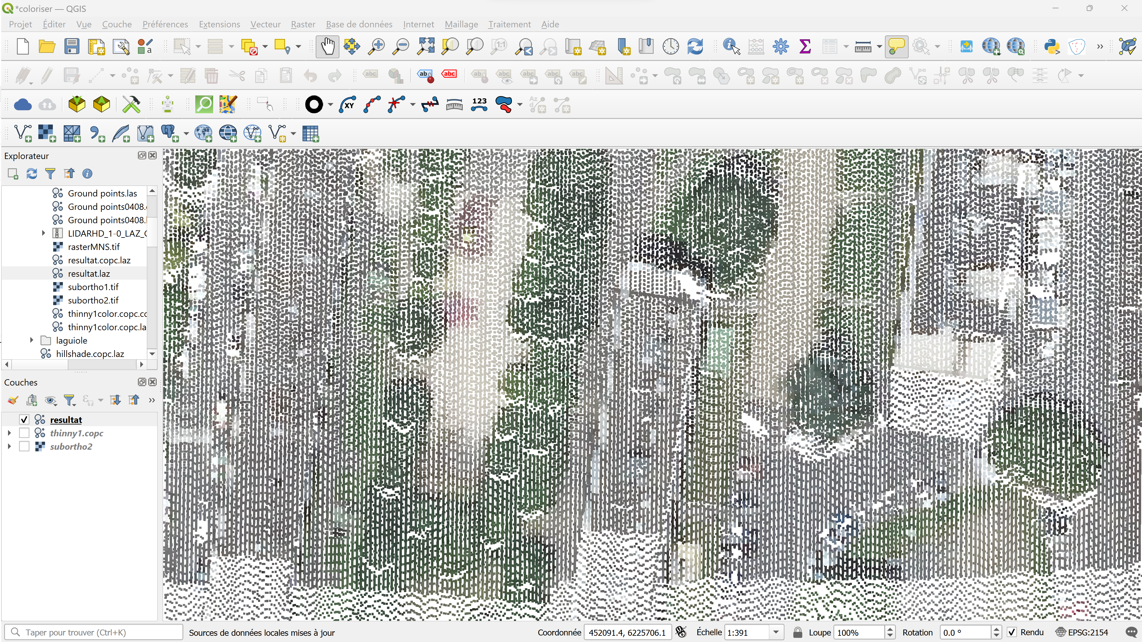
Tutoriel : LIDAR HD avec QGIS 3.32 In this article you’ll find out how to transfer colors (colorize) from an image or orthophoto to the points of a LIDAR cloud using CloudCompare. The result is an…

Read More
25 July 202326 August 2023 Atilio Francois No Comments
  • Lidar

QGis 3.32: Tools for LIDAR data

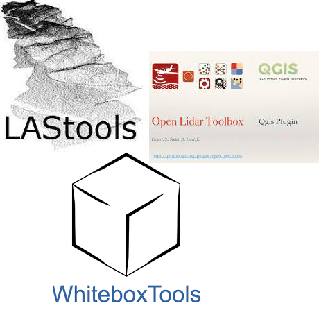
Tutorial: HD LIDAR with QGIS 3.32 In this article you’ll find tools for LIDAR data: LASTools, WhiteboxTools, OpenLIDAR Tools. Step-by-step installation, licensing and configuration. You’ll also find a presentation of CloudCompare. As we saw in the…

Read More
18 July 202313 July 2023 Atilio Francois No Comments
  • Lidar

LIDAR data in QGis 3.32

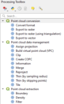
Among many improvements, version 3.32 introduces the long-awaited feature of native point cloud processing in QGIS, enabling QGIS Desktop to become a powerful LiDAR data processing utility. Before publishing a tutorial on the new features, I’ve…

Read More
6 June 20235 June 2023 Atilio Francois No Comments
  • QGis

How to create a topographic profile with QGis 3.26 (Part 3)

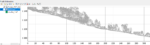
Here’s a 5-chapter tutorial on the new QGis feature in version 3.26: elevation profiles. Chapter 1: Profiles from vector layers Chapter 2: Profiles from raster layers Chapter 3: Profiles from point clouds (Lidar) Chapter 4: Profiles…

Read More

Posts pagination

« Previous 1 2

Mastodon Follow me on Mastodon
Voir le profil de atilio francois sur LinkedIn

Recent articles

  • QGis and geoparquet
  • ENC maps in QGis with Postgis(1)
  • Postgis:table with multiple geometries
  • Leaflet: responsive
  • MBtiles & Leaflet

Recent comments

  1. Atilio Francois on Portable version of QGis 3.32.015 May 2025

    What is the link between the qgis update and the portable version? A portable version cannot be updated; it must…

  2. Hugo on Portable version of QGis 3.32.014 May 2025

    For me, the error message complaining that qgis_app.dll is missing started appearing following the most recent QGIS update.

  3. Atilio Francois on Portable version of QGis 3.32.07 May 2025

    Hello The problem with the portable version is that it's very dependent on the particular configuration of the machine. The…

  4. NotFred on Portable version of QGis 3.32.07 May 2025

    I have never had QGIS installed in my machine (it's a brand new laptop) and I get the same error,…

  5. Atilio Francois on Portable version of QGis 3.32.028 April 2025

    The file is present in the download ...\QGIS 3.32.0\QGIS 3.32.0\apps\qgis\bin The error message probably comes from a previous installation of…

All articles by category (click on a category to display article extracts)

(You can copy the RSS link for each category separately)

  • ArcGis (1)
  • Arcgis Pro (1)
  • bibliography (1)
  • Database (12)
    • PostgreSQL (9)
    • Spatialite (3)
  • english posts (20)
  • Felt (3)
  • Geoserver (5)
  • GIS and management (2)
  • Lidar (10)
  • Non classé (206)
  • Outils divers (2)
  • Postgis (1)
  • QGis (37)
  • webmapping (9)

  • Blog – English
  • Tutorials
  • All Content
  • Old Maps
  • About/Contact
  • English
Copyright 2018. All rights reserved | Theme: Blog Mantra by LilyTurf Themes