Blog GIS & Territories

GIS coaching for territorial management.

  • Blog – English
  • Tutorials
    • Leaflet Initiation
  • All Content
  • Old Maps
  • About/Contact
  • English
    • Français
    • English
    • Español
    • Português

Author: Atilio Francois

30 April 20255 May 2025 Atilio Francois No Comments
  • webmapping

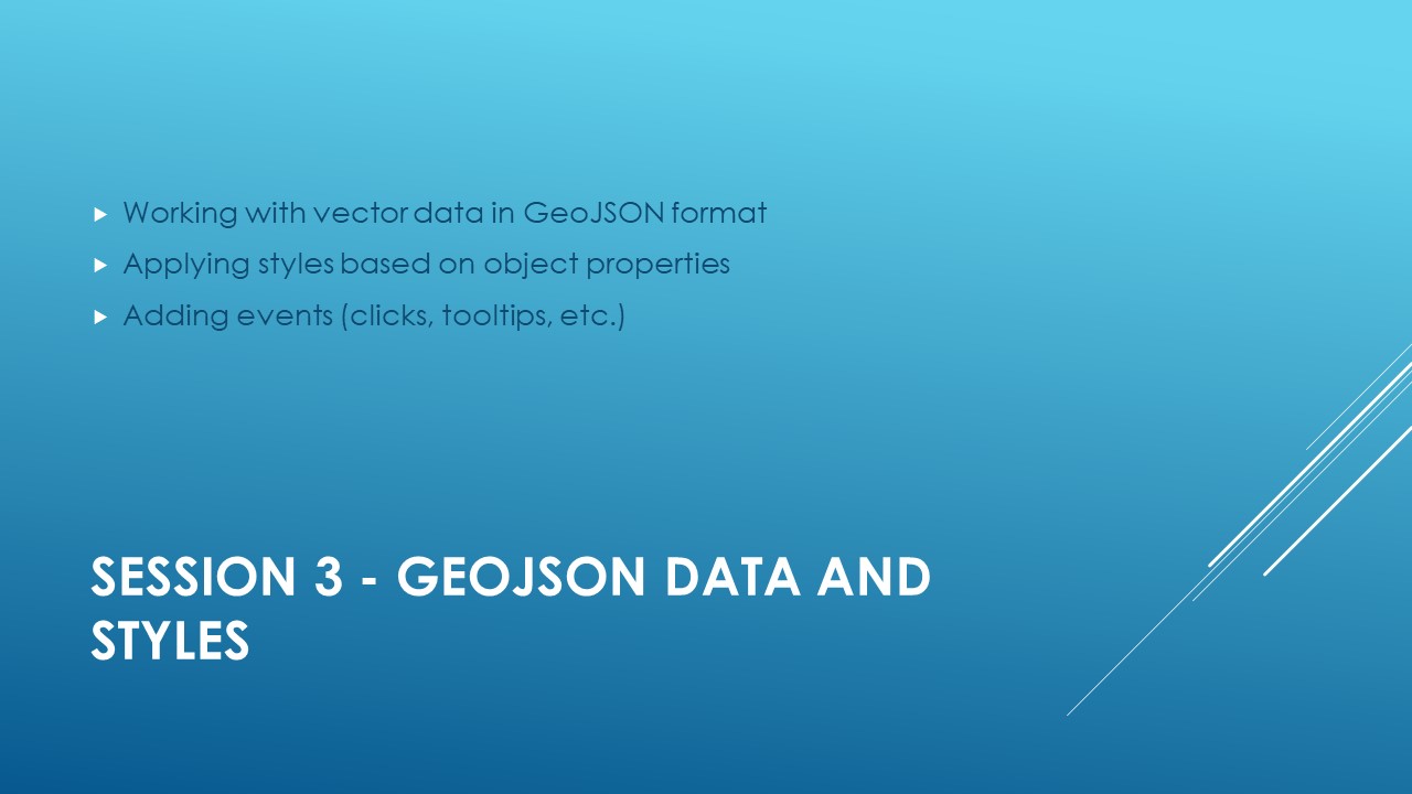
Leaflet tutorial: session 3

GeoJSON data and styles Slide 1: What is GeoJSON? GeoJSON is a lightweight, widely used data format for representing geographic objects in a web environment. It is based on the JSON (JavaScript Object Notation) format, a…

Read More
25 April 202522 April 2025 Atilio Francois No Comments
  • webmapping

Leaflet tutorial: session 2

Layers and interactivity with Leaflet Slide 1: Introduction to Layers Explanation: Layers in Leaflet are geographic objects added to a map. There are two main types: Slide 2: Adding a tile layer Explanation: Tile layers display…

Read More
23 April 202522 April 2025 Atilio Francois No Comments
  • webmapping

Leaflet tutorial: session 1

Introduction to LeafletWelcome to the introductory course to Leaflet.js Creating interactive maps on the Web has never been easier.With the Leaflet JavaScript library, you’ll learn how to represent locations, routes and data, and enrich your maps…

Read More
introduction to leaflet
23 April 202515 May 2025 Atilio Francois No Comments
  • webmapping

Leaflet tutorial

Duration: approx. 9-12 hours (divided into 6 sessions) Program : Expected result By the end of the course, you’ll be able to create a working Leaflet map with your own data and put it online to…

Read More
geowebcache tiles formats
17 April 202517 April 2025 Atilio Francois No Comments
  • Geoserver

Geoserver:configuring geowebcache(2)

GeoWebCache (GWC) tile formats available in GeoServer GeoServer, as an open source mapping server compliant with OGC (Open Geospatial Consortium) standards, offers several types of web services for the distribution of geospatial data. One of the…

Read More
15 April 202515 April 2025 Atilio Francois No Comments
  • Geoserver

Geoserver:configuring geowebcache(1)

Services available with GeoWebCache (GWC) in GeoServer GeoServer, as an open source mapping server compliant with OGC (Open Geospatial Consortium) standards, offers several types of web services for the distribution of geospatial data. One of the…

Read More

Posts pagination

« Previous 1 2 3 4 5 … 49 Next »

Mastodon Follow me on Mastodon
Voir le profil de atilio francois sur LinkedIn

Recent articles

  • Visualize your GIS data in QGIS with the Data Plotly plugin
  • Heatmaps and hotspot maps in QGIS
  • Easily add base maps to QGIS: three practical methods compared
  • QGIS: A New “SQL Query” Option in the Layer Context Menu
  • QGis and geoparquet

Recent comments

  1. Atilio Francois on Portable version of QGis 3.32.015 May 2025

    What is the link between the qgis update and the portable version? A portable version cannot be updated; it must…

  2. Hugo on Portable version of QGis 3.32.014 May 2025

    For me, the error message complaining that qgis_app.dll is missing started appearing following the most recent QGIS update.

  3. Atilio Francois on Portable version of QGis 3.32.07 May 2025

    Hello The problem with the portable version is that it's very dependent on the particular configuration of the machine. The…

  4. NotFred on Portable version of QGis 3.32.07 May 2025

    I have never had QGIS installed in my machine (it's a brand new laptop) and I get the same error,…

  5. Atilio Francois on Portable version of QGis 3.32.028 April 2025

    The file is present in the download ...\QGIS 3.32.0\QGIS 3.32.0\apps\qgis\bin The error message probably comes from a previous installation of…

All articles by category (click on a category to display article extracts)

(You can copy the RSS link for each category separately)

  • ArcGis (1)
  • Arcgis Pro (1)
  • bibliography (1)
  • Database (12)
    • PostgreSQL (9)
    • Spatialite (3)
  • english posts (20)
  • Felt (3)
  • Geoserver (5)
  • GIS and management (2)
  • Lidar (10)
  • Non classé (206)
  • Outils divers (2)
  • Postgis (1)
  • QGis (41)
    • Plugin (1)
  • webmapping (9)

  • Blog – English
  • Tutorials
  • All Content
  • Old Maps
  • About/Contact
  • English
Copyright 2018. All rights reserved | Theme: Blog Mantra by LilyTurf Themes