Blog GIS & Territories

GIS coaching for territorial management.
  • Blog – English
  • Tutorials
    • Leaflet Initiation
  • All Content
  • Old Maps
  • Plugins QGis(en)
    • S57Manager(en)
    • FuzzyAttributes(en)
  • QGIS Portable for Windows
  • About/Contact
  • English
    • Français
    • English
    • Español
    • Português

Category: QGis

19 December 202318 December 2023 Atilio Francois 2 Comments
  • QGis

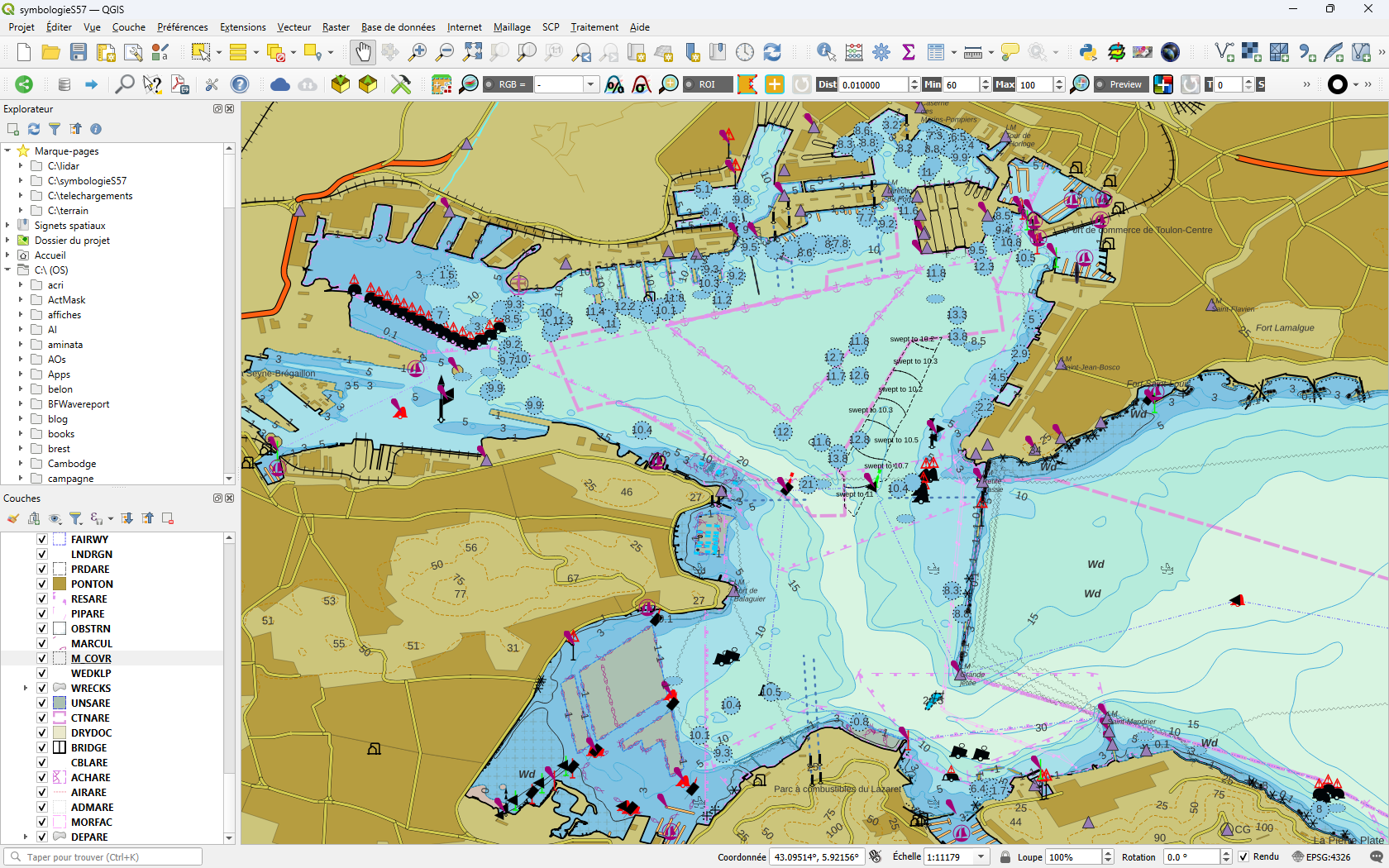
Displaying S57 nautical charts in QGis 3.X

In this article you’ll find out how to load an ENC file in S57 format into QGis 3.34 and download a nautical chart symbology to apply to it. As the previous article on the S57 format…

Read More
12 October 202312 October 2023 Atilio Francois No Comments
  • QGis

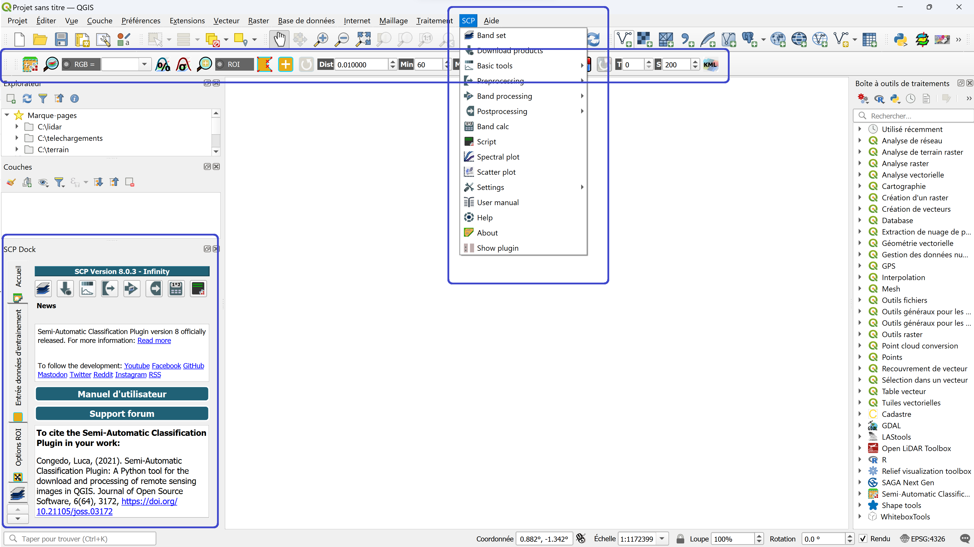
Installing the QGIS- Semi-Automatic Classification (SCP) v 8.0 plugin

This article describes the installation of version 8.0.3 of the QGis SCP (semi-automatic classification) plugin on a 64-bit Windows machine. The new version of the QGis image classification plugin (SCP) is a little more complicated than…

Read More
30 August 202330 August 2023 Atilio Francois No Comments
  • Lidar
  • QGis

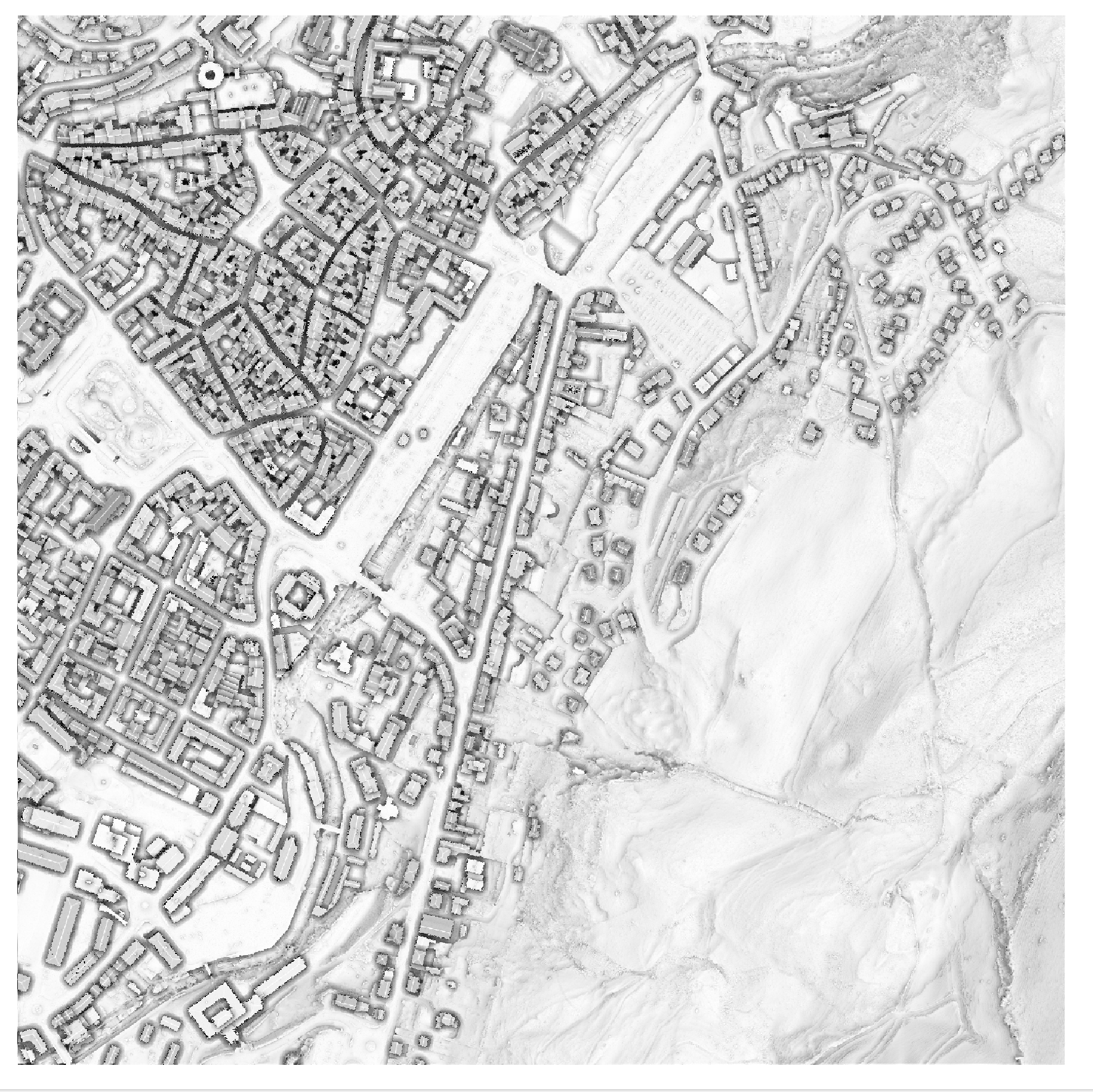
QGis for LIDAR: digital feature model (DEM) with Open Lidar Tools.

In this article you’ll find out how to create a Digital Feature Model in just a few clicks and visualize the results, thanks to the Open Lidar Toolbox plugin. Tutorial HD LIDAR data processing with QGis…

Read More
13 July 202311 July 2023 Atilio Francois No Comments
  • QGis

QGis network analysis tools:service area

In network analysis with QGIS, a service area refers to a geographic zone that is covered or served by a specific transportation or distribution network. This can include elements such as roads, public transit lines, water…

Read More
11 July 202310 July 2023 Atilio Francois No Comments
  • QGis

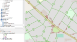
QGis shortest path network analysis tools

Two types of network analysis tools are available: In network analysis with QGIS, shortest path refers to the shortest route between two given points in a road or transportation network. It’s about finding the optimal route…

Read More
6 July 20235 July 2023 Atilio Francois No Comments
  • QGis

Netwotk Analysis with QGis

We’ll look at how to download and prepare OpenStreetMap data for a network analysis, then at all the QGis processes grouped together under the heading Network Analysis.

Read More

Posts pagination

« Previous 1 … 9 10 11 12 13 … 15 Next »

Mastodon Follow me on Mastodon
Voir le profil de atilio francois sur LinkedIn

Recent articles

Recent comments

posts

  1. Atilio Francois on [EN]Download QGIS 3.44 LTR Portable for Windows (Full Version)4 August 2026

    Excellent, thank you for running this test! This is actually very good news. Your `curl` download completed successfully, downloading the…

  2. Robert Pace on [EN]Download QGIS 3.44 LTR Portable for Windows (Full Version)3 August 2026

    I added the -v flag to the curl for more verbose response. C:\Users\quepi>curl.exe -v -L -O https://www.nasca.ovh/downloads/QGIS%203.44.0.7z * Trying 213.186.33.16:443...…

  3. Atilio Francois on [EN]Download QGIS 3.44 LTR Portable for Windows (Full Version)3 August 2026

    Thank you again for your detailed feedback. I have now performed several additional tests from my side. The file downloads…

  4. Atilio Francois on [EN]Download QGIS 3.44 LTR Portable for Windows (Full Version)3 August 2026

    Thank you for the detailed feedback. The fact that the download fails at different points (258 MB, 359 MB, etc.)…

  5. Robert Pace on [EN]Download QGIS 3.44 LTR Portable for Windows (Full Version)3 August 2026

    Hi Atilio, I have tried the download from my home pc/network and at work via work laptop on the universities…

All articles by category (click on a category to display article extracts)

(You can copy the RSS link for each category separately)

  • ArcGis (1)
  • Arcgis Pro (1)
  • bibliography (1)
  • Database (13)
    • PostgreSQL (9)
    • Spatialite (3)
  • english posts (20)
  • Felt (3)
  • Geoserver (5)
  • Geospatial Technologies (4)
    • Spatial Analysis & GIS (4)
  • GIS and management (2)
  • IA(en) (4)
  • Lidar (10)
  • Logique floue (2)
  • Non classé (207)
  • Outils divers (2)
  • Outils et méthodes (5)
    • Images (5)
  • Postgis (4)
  • QGis (89)
    • Plugin (33)
    • Tutorial (6)
  • S57 (5)
  • webmapping (9)

  • Blog – English
  • Tutorials
  • All Content
  • Old Maps
  • Plugins QGis(en)
  • QGIS Portable for Windows
  • About/Contact
  • English
Copyright 2026. All rights reserved | Theme: Blog Mantra by LilyTurf Themes