Publishing QGis layers in Geoserver with Geocat Bridge plugin

Although Geoserver has tools for uploading data layers, this operation can be simplified by exploiting the possibilities of QGis and the Geocat Bridge plugin. This plugin allows to load directly in Geoserver the data and symbologies defined in a QGis project. This video is in french. Watch this video on… Continuer à lire…

Advanced Geoserver : tiling (quick start)

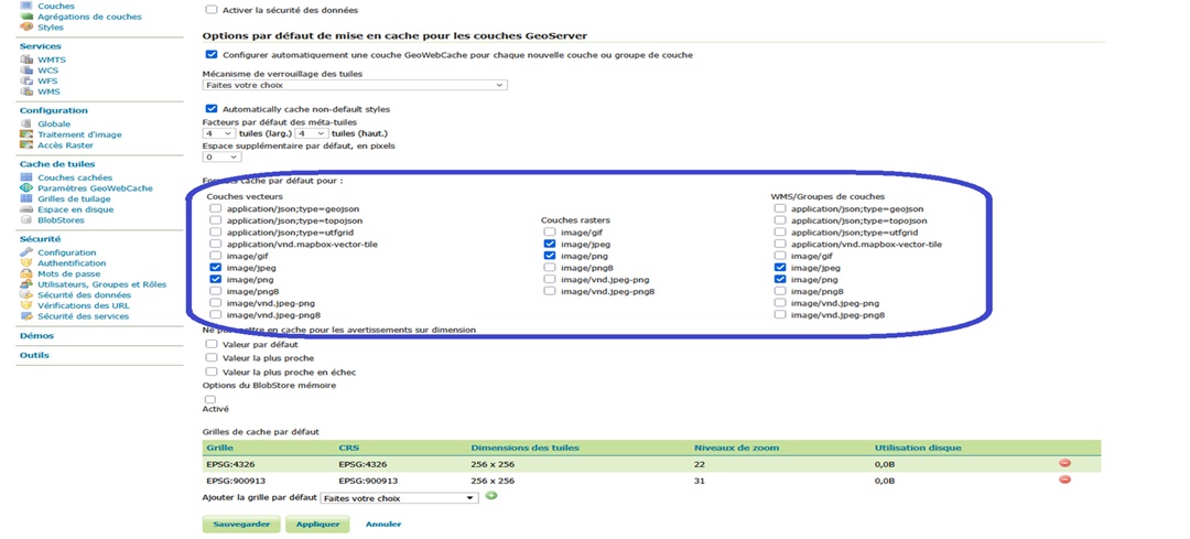
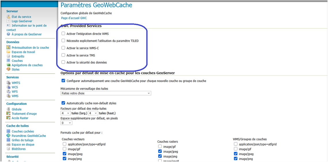
In the previous article (Advanced Geoserver: tiling (principles) we have explored the different concepts regarding the tiling mapping. In this article we will discuss how to implement those applications using Geoserver. In order to run the tiling, Geoserver uses an external module called GeoWebCache. 0000