Automatically export a series of feature-based graphics with QGIS and Python (without Data Plotly)
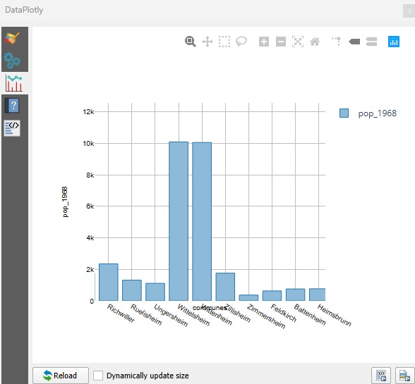
In our previous articles, we looked at how to create graphs in QGIS with Data Plotly. Today, we’re going one step further: automate the generation of a graph by range (or any other entity), exporting the…
Read More