Integrating a WMTS raster tile service in QGis 3 and Felt
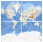
What is WMTS? A good example of a WMTS service is OpenStreetMap. It consists of an address to which client programs can request geotagged images. When you load OSM into QGis, the program connects to the…
Read More