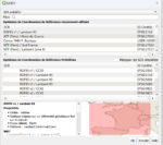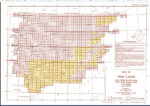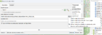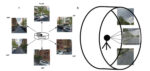
Le plugin Green View Index de QGis
Le plugin QGIS Green View Index est un outil puissant pour mesurer la couverture végétale d’une zone donnée. Il est facile à utiliser et fournit des informations précieuses aux urbanistes, aux architectes paysagistes et aux environnementalistes.…
Read More